
« NEW ZEALAND • Discover New Zealand • South Island
Discover Magical South Island
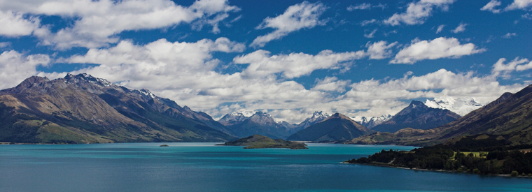
The South Island (Ma-ori: Te Wai Pounamu) is the larger of the two major islands of New Zealand, the other being the more populous North Island. It is bordered to the north by Cook Strait, to the west by the Tasman Sea, to the south and east by the Pacific Ocean. The South Island is sometimes called the 'Mainland'.
|
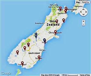
Popular Destinations: Christchurch • Dunedin & The Otago Peninsula • Fiordland & Milford Sound • Franz Josef & Fox Glacier • Mount Cook • Queenstown • and more |
• Christchurch

Christchurch (Maori: Otautahi) is the largest city in the South Island. It is also the second largest city and third largest urban area of New Zealand. A coastal city, the urban area is situated just south of Banks Peninsula, midway down the South Island's east coast, but the city limits encompass the peninsula …
• Dunedin & The Otago Peninsula
Dunedin is the second-largest city in the South Island of New Zealand, and the principal city of the Otago Region. While Tauranga, Napier-Hastings and Hamilton have eclipsed the city in population in recent years, Dunedin is still considered to be one of the four main cities for historic, cultural and geographic reasons …
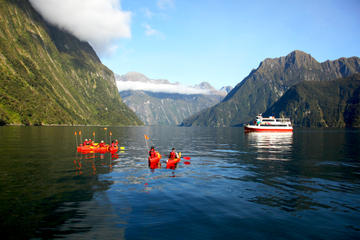
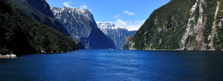
• Fiordland & Milford Sound
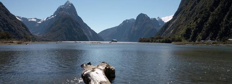
Fiordland's immensity can only really be appreciated from the air or water. A cruise on the crystal-clear water of Milford Sound is the most easily accessible trip you can do on any of Fiordland's famous sounds. It comes complete with seals, dolphins and an almost guaranteed downpour of rain that creates a spectacular deluge of cascading waterfalls …
• Franz Josef & Fox Glacier
The Franz Josef is a 12 km long glacier located in Westland Tai Poutini National Park on the West Coast of New Zealand's South Island. Together with the Fox Glacier 20 km to the south, it is unique in descending from the Southern Alps to less than 300 metres above sea level, amidst the greenery and lushness of a temperate rainforest …
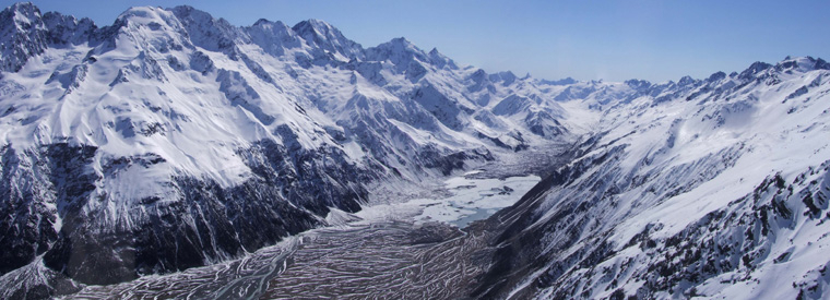
• Mount Cook
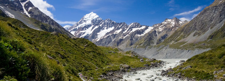
Mount Cook is the highest mountain in New Zealand, reaching 3,754 metres. It lies in the Southern Alps, the mountain range which runs the length of the South Island. A popular tourist destination, it is also a favourite challenge for mountain climbers. Aoraki / Mount Cook consists of three summits lying slightly south and east of the main divide …
• Queenstown
Queenstown is a centre for adventure tourism. Skiing, jet boating, whitewater rafting, bungy jumping, mountain biking, skateboarding, tramping and fly fishing are all strong promotional themes. Queenstown is a major centre for snow sports in New Zealand, with people from all over the country travelling to ski at the four main mountain skifields …
… more destinations in magical South Island
» Canterbury
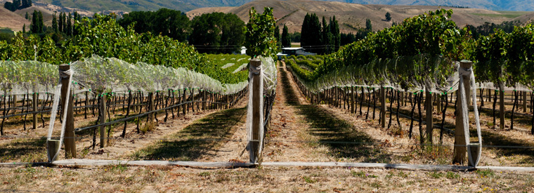
Located in the middle of the South Island, Canterbury is the largest region in New Zealand. Bordered by the Southern Alps on one side and the Pacific Ocean on another, popular destinations in the area include Christchurch, Kaikoura and Hanmer Springs, just to name a few. Home to more than 300,000 people, Christchurch is New Zealand's second-largest city. Its location makes Canterbury's numerous towns and villages easy day trips. Whereever you go, you'll have no trouble keeping busy in the Canterbury region …
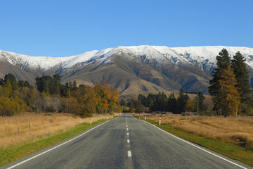
» Mt. Aspiring National Park
In the rugged wilderness outside of Wanaka, Glenorchy, Makarora, and Haast, Mt. Aspiring National Park sits waiting to be explored. Here in New Zealand's third largest park, glaciers hang suspended on mountainsides that are crossed by backcountry trails. Views of this pristine, South Island landscape are reserved for the hardiest of trekkers - or helicopter passengers who share the skies with kea, or alpine parrots. The hiking here in Mt. Aspiring National Park is some of New Zealand's best …
» Picton
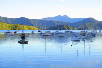
Funky, homely and remarkably scenic, Picton is the South Island's northern surprise. Known for its cruise port and ferries to Wellington, many visitors visit Picton while en route to someplace else. From the moment you step off the ship, however, this salty, slow-paced, charming little town begins the process of growing on you. At the fascinating Edwin Fox Maritime Museum, read about the history of the Edwin Fox to learn how this 19th century, teak boat from Calcutta transported everyone from soldiers to convicts …

« NEW ZEALAND • Discover New Zealand • South Island